

Find out more about the LGSA, our history, structure, activities and organisation.
more
Untermenu
About us 
Agriculture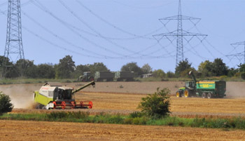
Municipalities
We help make your municipality fit for the future! Our interdisciplinary team develops concepts, conducts land-use planning and offers professional consultation.
more
more
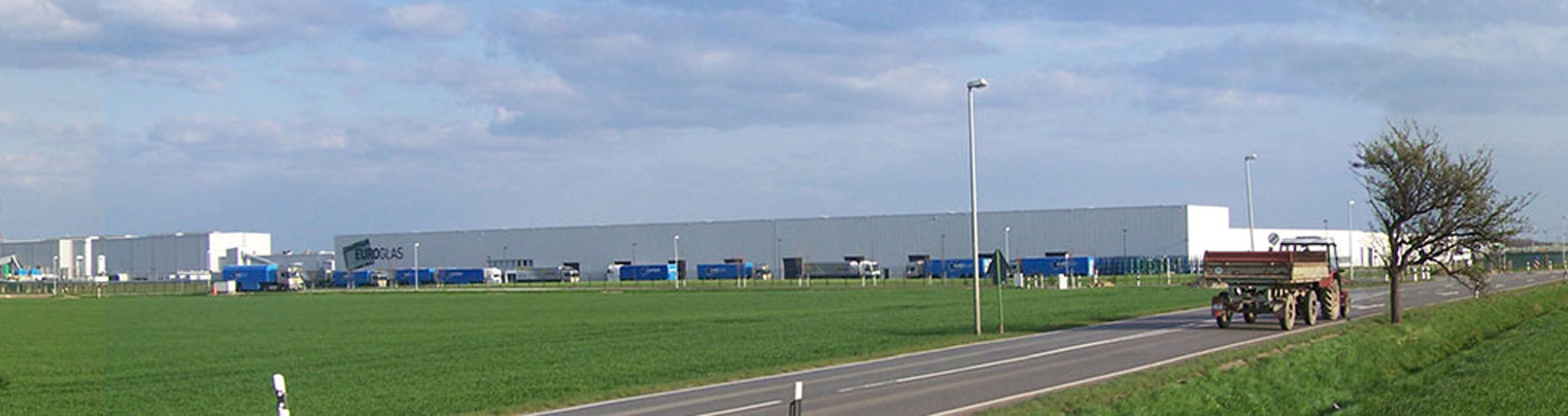
Business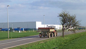
We offer investors in Saxony-Anhalt a broad variety of services and information. We can assist you with your undertaking from the initial preparations to financing and finding the right plot for your project.
more
more
Geographical Information Systems
Putting you in the picture
You need a detailed overview of your current land use? This is best achieved digitally by means of a geo-information system. A GIS is indispensable nowadays for modern land management and provides analytical tools that can assist farmers in producing applications, planners in analysing locations, associations and municipalities in the creation of assessment notices and much more.
Our package of services includes:
- Creation of a data basis for GIS
- Scanning of topographic map data, such as land parcel and land appraisal maps
- Georeferencing of maps (transfer into the necessary coordinate system)
- Creation of objects for surfaces and object-oriented databases
- Local surveying using GPS and incorporation of GPS data and digital orthophotos (aerial photographs) into the data model
- Creation of web-GIS solutions
We can support you in preparing an application for agricultural funding, provide you with data for further processing on your PC, take over the input of later necessary adaptations and changes and make suggestions for implementing farmland exchanges and lease exchange agreements.
We can also make your GIS data available via the web for ongoing editing, accessible to you alone with password-protected access.
Using our GIS software we also able to undertake an exact valuation of your land stock by undertaking a value appraisal and value allocation of the land under consideration.
By incorporating official property data, we are able to precisely display the boundaries of plots or other points in a locality.

 Dipl.-Ing. Norbert Zimmermann